


Airborne gravimetry · strapdown design
AGP-GRAV
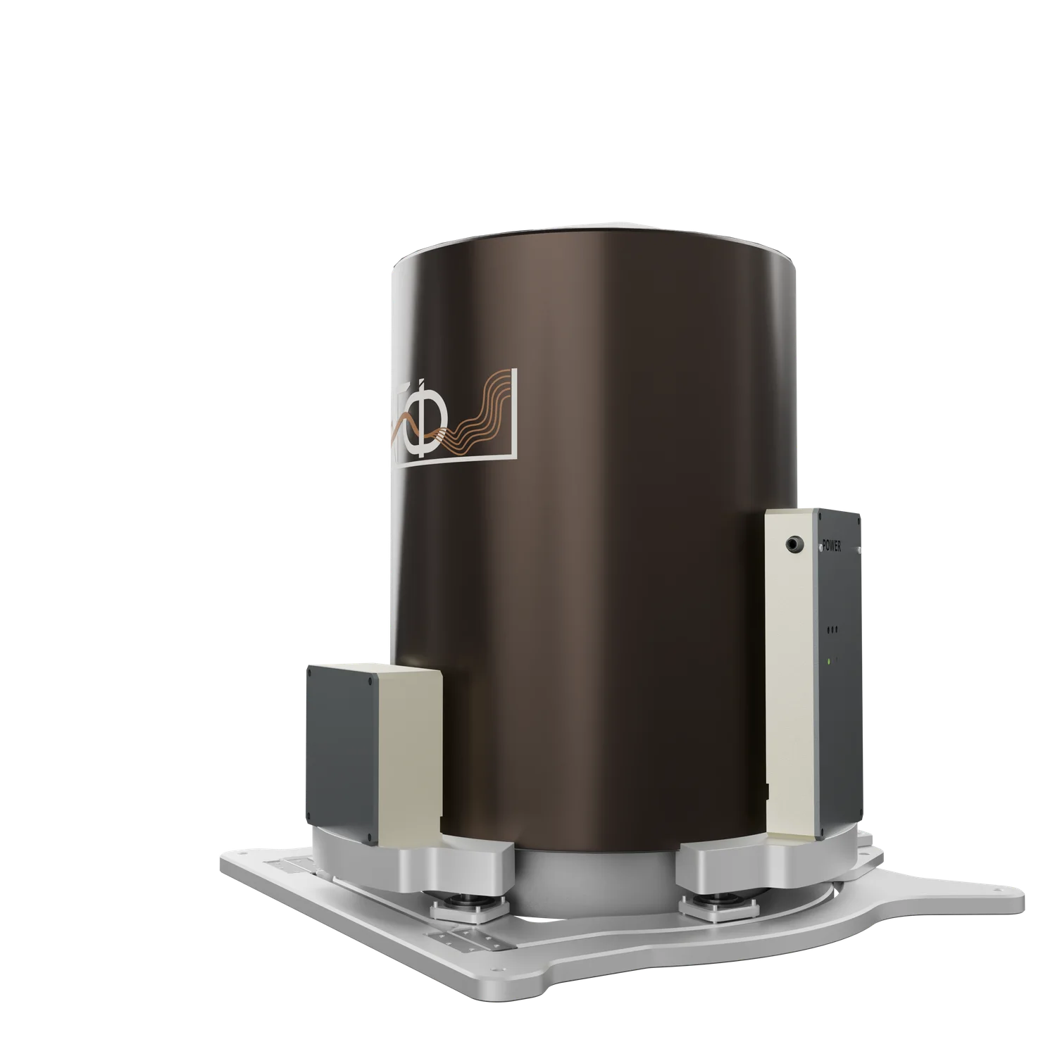
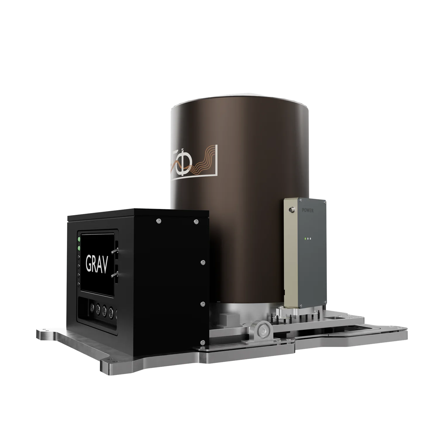
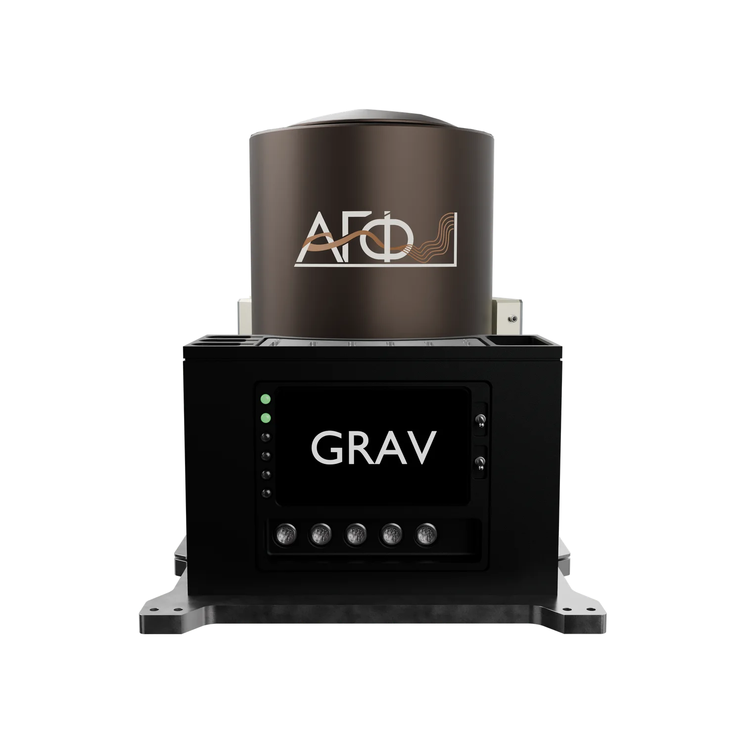
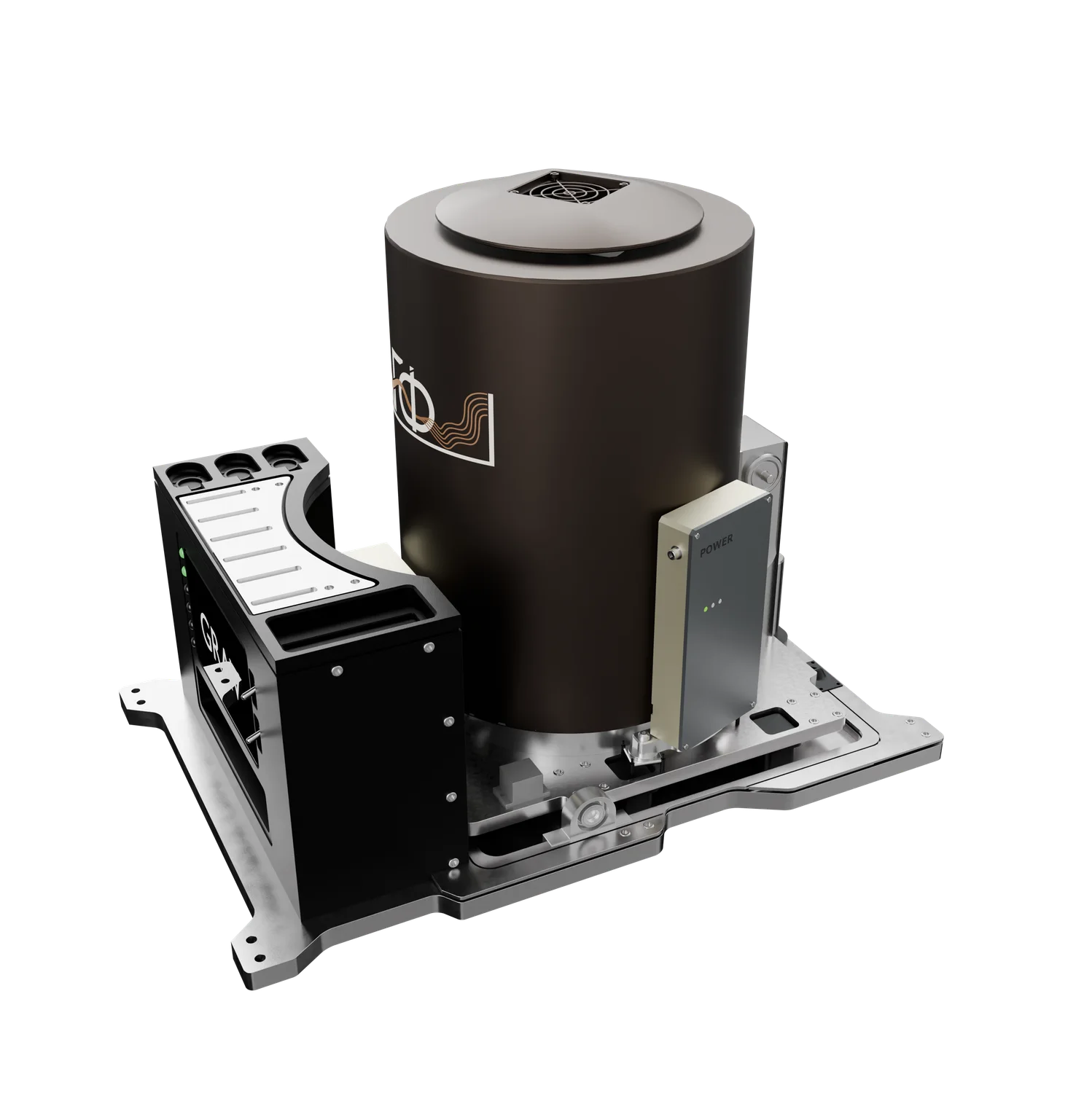
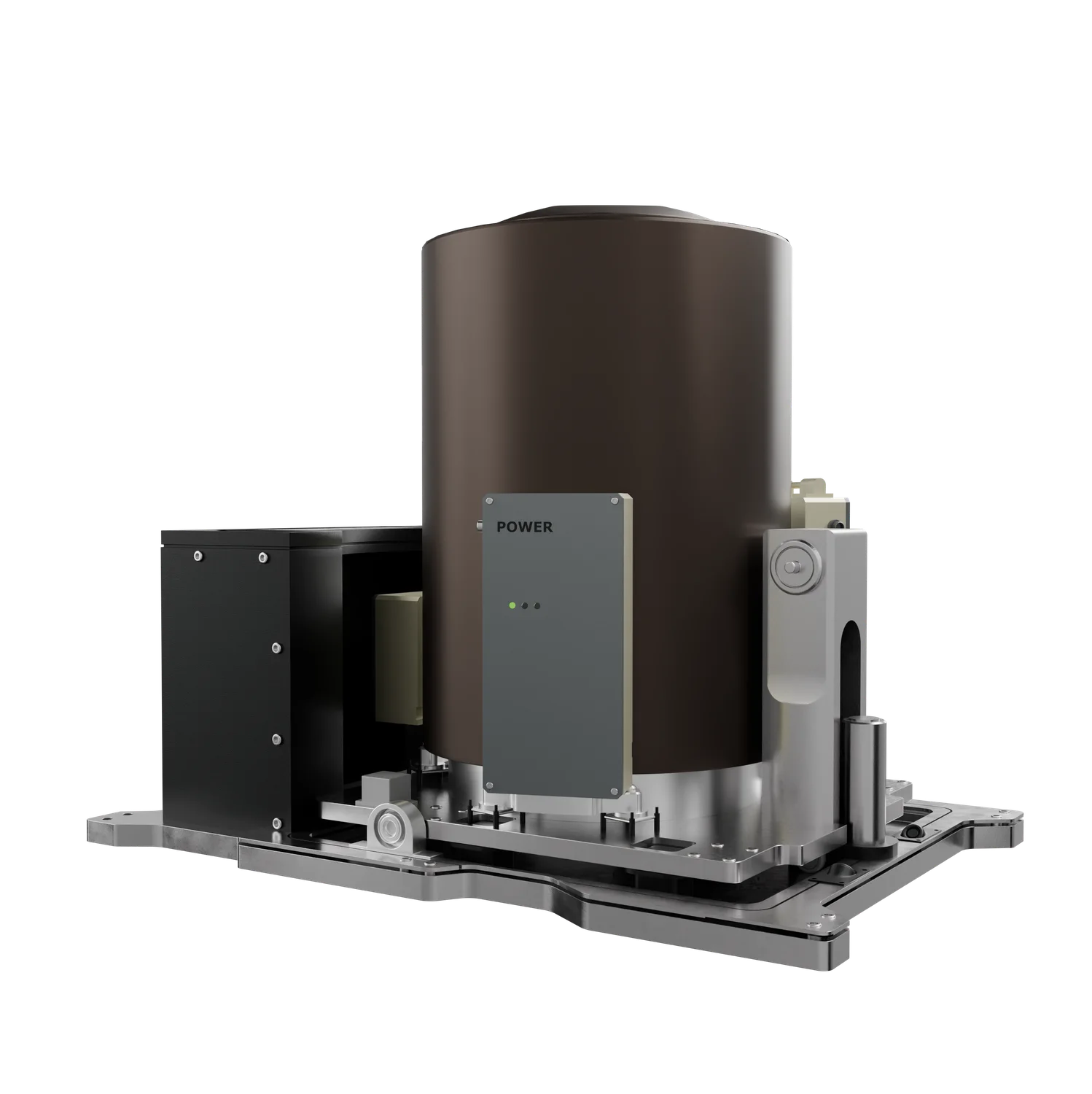
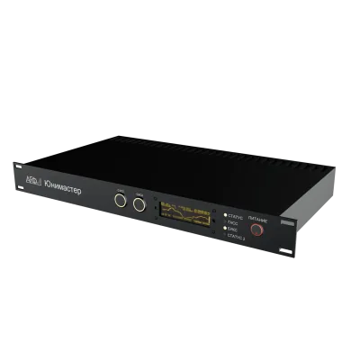
Mobile strapdown gravimeter for measuring the gravity field from a moving base.
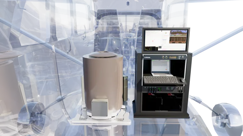
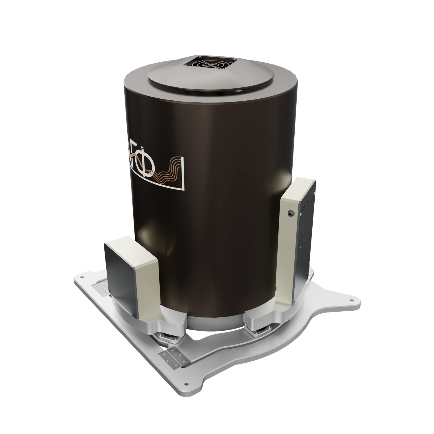
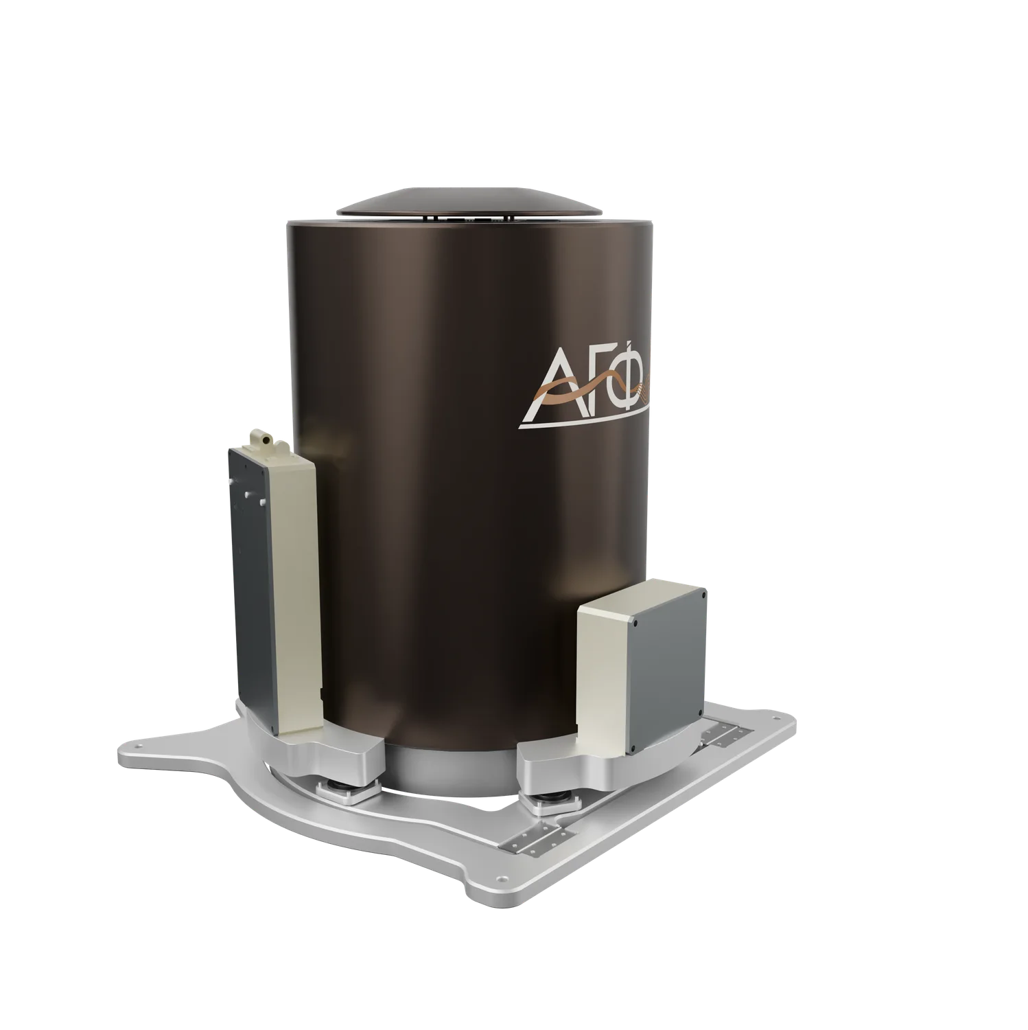
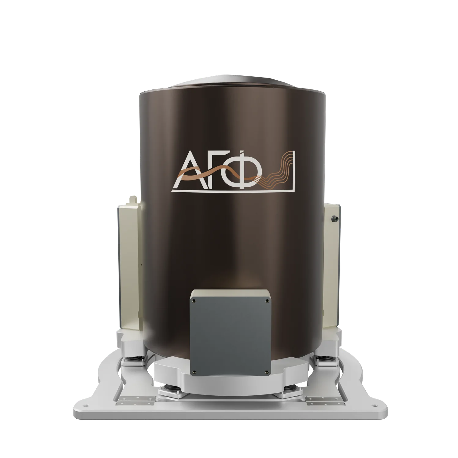
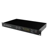
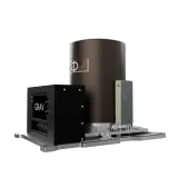
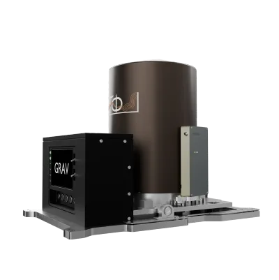
Hardware and software system based on a navigation-grade strapdown inertial system, without a gyrostabilised platform. Error in gravity-anomaly measurement: <0.2 mGal.
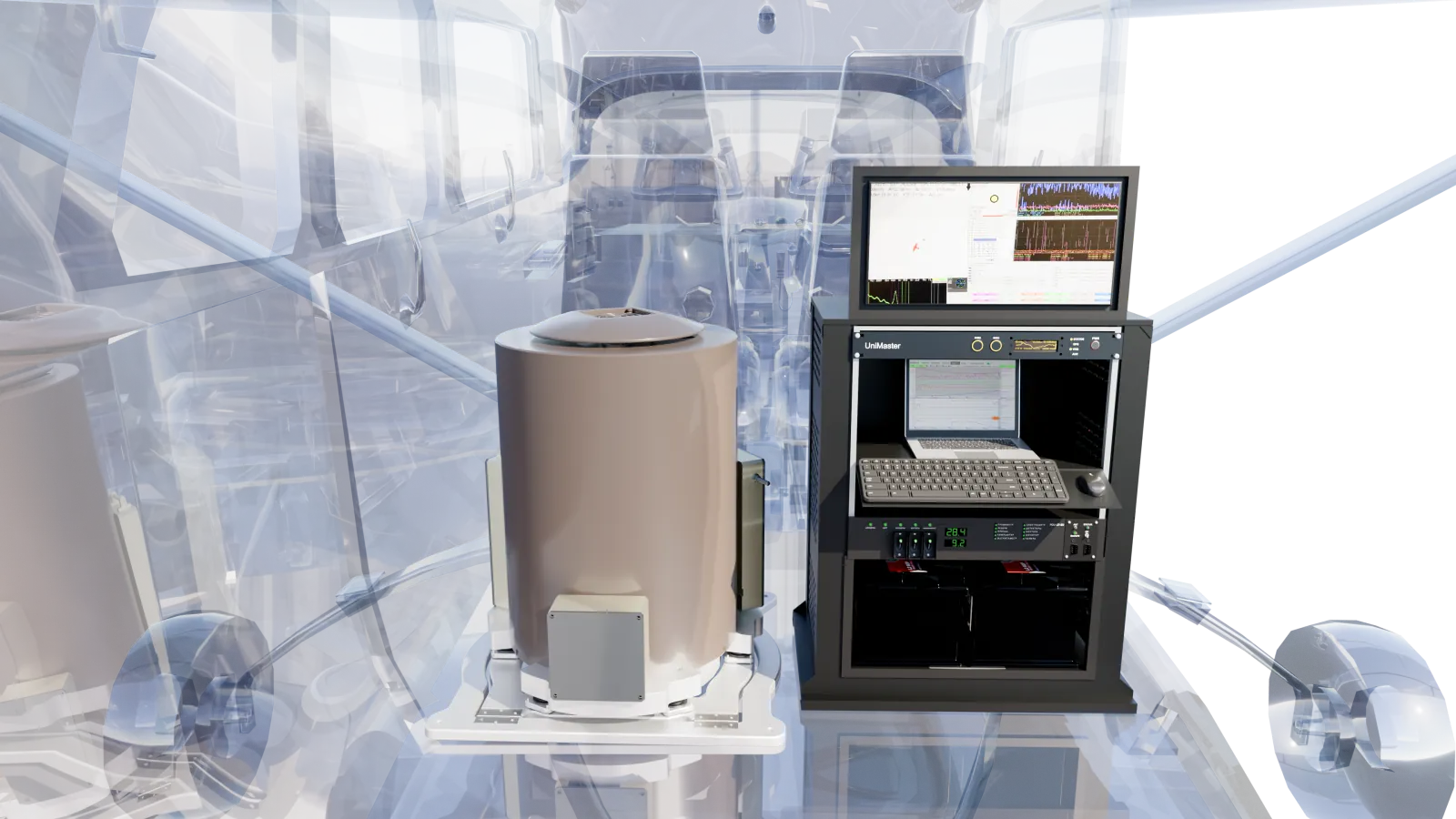
Instrument configuration
Tests
Comparison with the GT-2A platform gravimeter
The instrument has been tested on aircraft, helicopters and marine vessels. The programme included comparison with the GT-2A platform airborne gravimeter and repeat measurements along a single line. The field data and processing results were independently reviewed by the Institute of Physics of the Earth RAS, the Faculty of Mechanics and Mathematics of Moscow State University and VNIGNI.
Strapdown inertial system
The strapdown design operates without a stabilised platform.
Specifications
Specifications
AGP-GRAV specifications.
| Parameter | Value |
|---|---|
| power consumption | < 120 W |
| weight | 25 kg |
| dynamic range | ±2 g |
| number of gyroscopes | 3 |
| number of accelerometers | 6 |
| gravity anomaly error | < 0.2 mGal |
| recording of all sensor measurements | up to 320 Hz |
Eight classes of geological tasks
Airborne gravimetry is used to study geological structure and to search for mineral deposits using gravity anomalies.
Carriers
Aircraft, helicopter, vessel
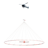
The instrument has been tested on An-2, An-3T and Cessna 208 aircraft, Mi-8 and AS350 helicopters, and marine vessels. Marine tests included operation under ship motion and dynamic loads.
Integration of methods
Combined use of geophysical methods
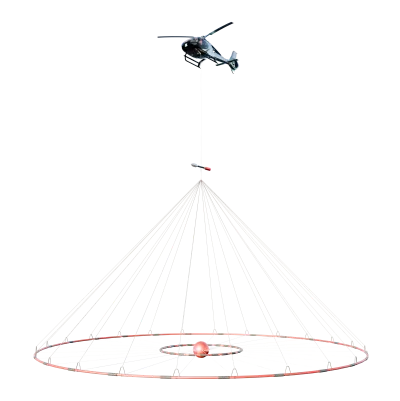
The ability to operate in close terrain-following mode allows airborne gravimetry to be acquired simultaneously with airborne magnetic, EM and gamma-ray spectrometry surveys, giving data sets consistent in spatial resolution. In Yakutia, four fields over one area were acquired with a single system: the anomalous magnetic field, resistivity at a depth of 100 m, Bouguer gravity and gamma-ray dose rate.
Photos and documents
Instrument images and brochure.