




STC Aerogeophysica
Geophysical instruments and software
Development and manufacture of geophysical instruments, unmanned aircraft systems and software. Deployment and technical support.
Equipment9 products
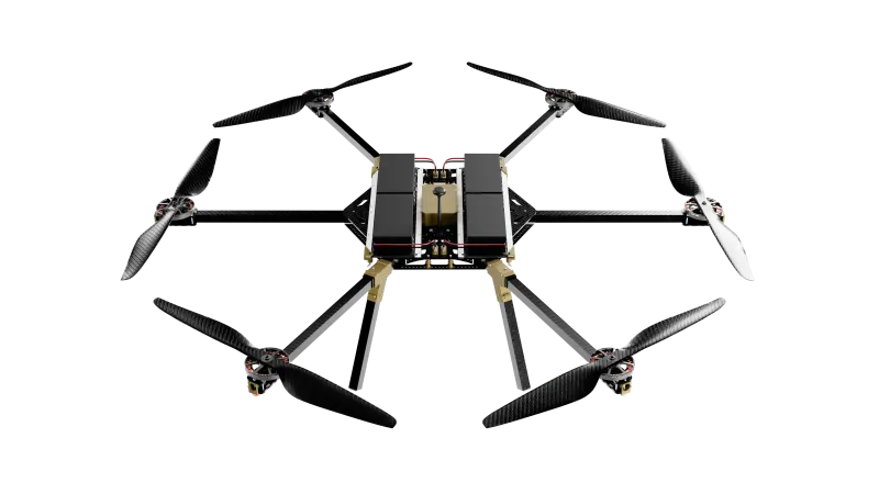
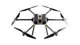
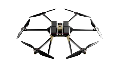
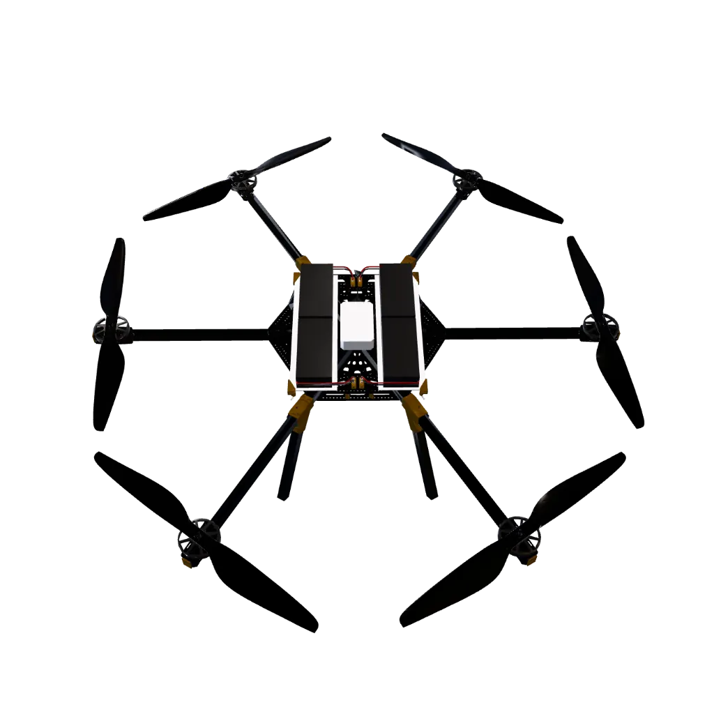
AGF-1600
UAS Hexacopter platform
54 KM70 MIN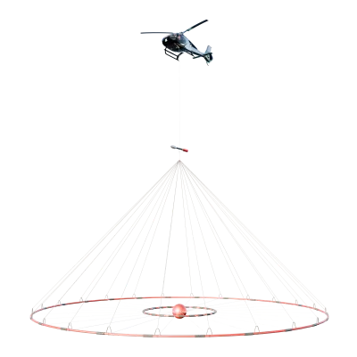
HoriZOND EM
helicopter electromagnetic system
5 M25/75 Hz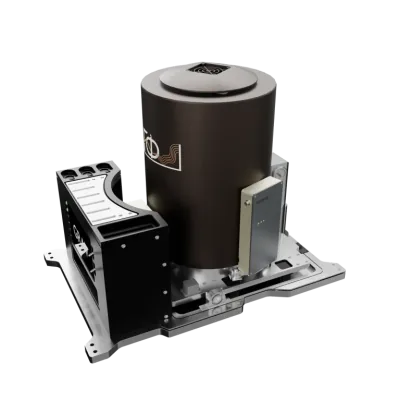
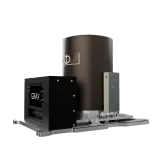
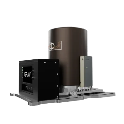
AGP-GRAV
Strapdown gravimeter
< 0.2 mGal320 Hz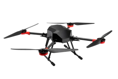
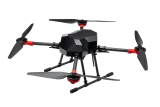
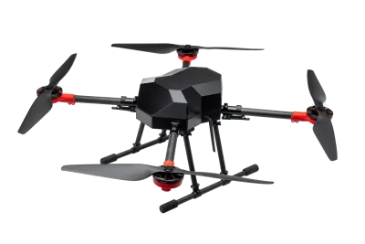
AGF-1400
Quadcopter UAV
20 KM4 GNSSmodule 1600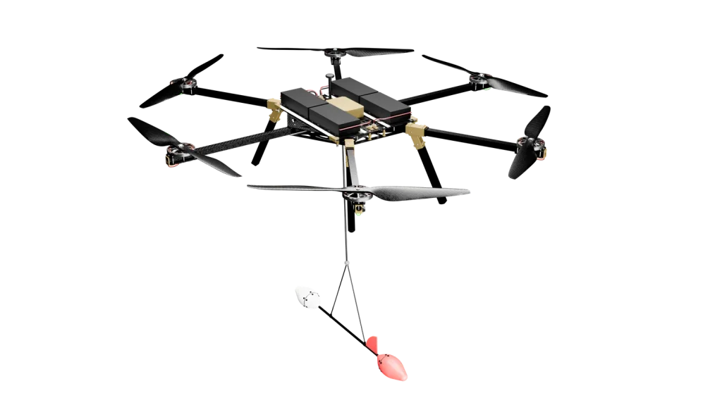
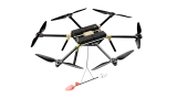
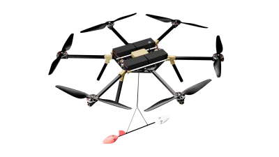
AGF-1600 MAG
Magnetic survey module
1 pT400 Hzmodule 1600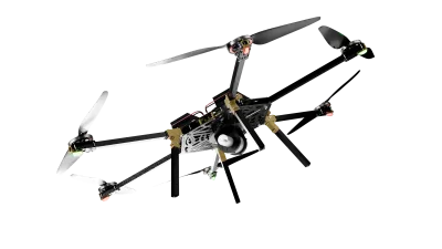
AGF-1600 SPEKTR
Gamma-ray spectrometry module
NaI(Tl)4 KG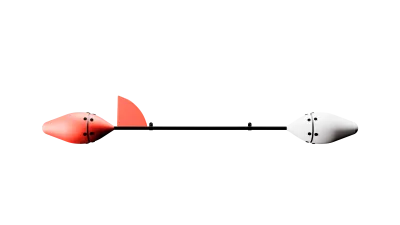
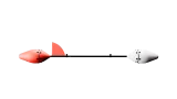
AGF-MAG
Quantum Rb sensor
1 pT400 Hz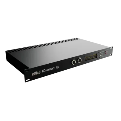
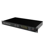
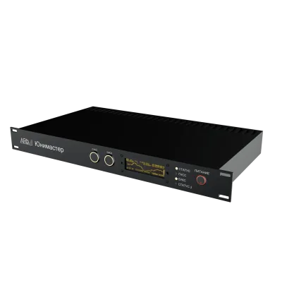
UniMaster
multichannel high-precision magnetometer
0.001 nT200 Hz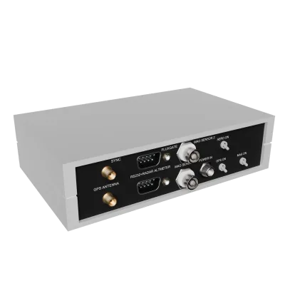
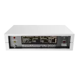
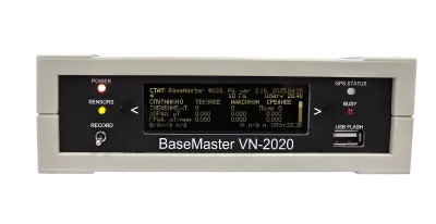
BaseMaster
Base station
0.001 nT1–100 Hz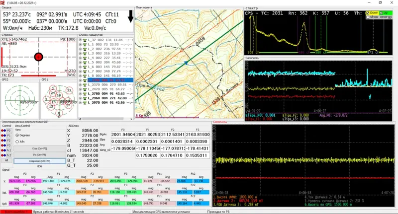
Equipment and carrier
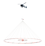
HoriZOND EM helicopter electromagnetic system
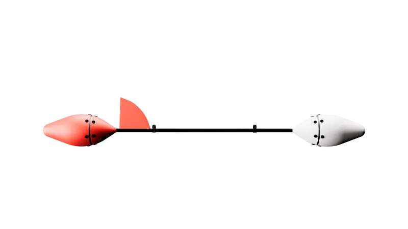
HoriZOND EM is a multipurpose helicopter-borne electromagnetic survey system. It conducts time-domain electromagnetic (TEM) surveys to an investigation depth of up to 500 m and measures three components of the electromagnetic field. Magnetometry is integrated into the system.
HoriZOND EM specifications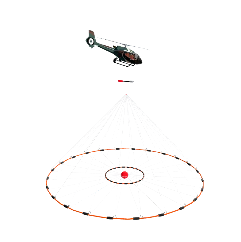
Areas of activity
Development, manufacture and support
STC Aerogeophysica develops geophysical instruments, unmanned aircraft systems and software. The centre's work covers design, manufacture, deployment and technical support. The centre carries out research and development and introduces new remote sensing methods.
Design
Instruments and unmanned platforms designed for the measurement method and the operating conditions.
Manufacture
Manufacture of geophysical instruments and unmanned aircraft systems of in-house design.
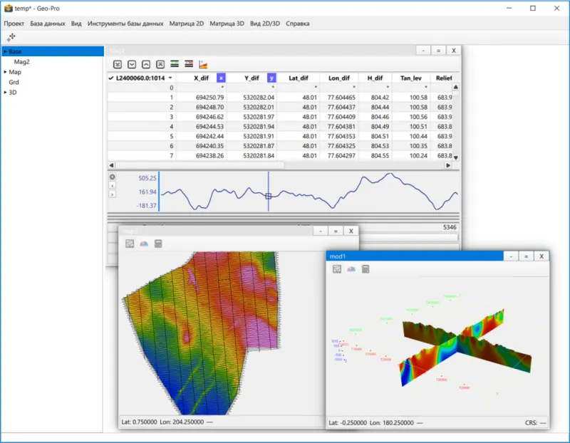
Software
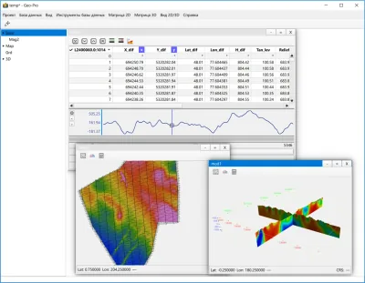
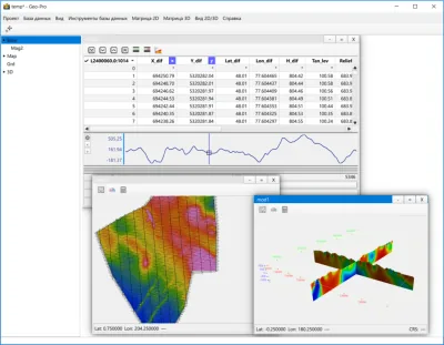
Recording and quality control of measurements, geophysical data processing, interpretation and modelling.
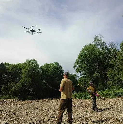
Technical support
Commissioning, training in the use of the instruments and software, technical support and maintenance.