


Software · onboard data acquisition
BortBiz
Data acquisition and onboard navigation
Data acquisition for the instrument suite and navigation support for airborne geophysical surveys: UniMaster and RSX-4, GPS synchronisation, continuous recording and real-time display.
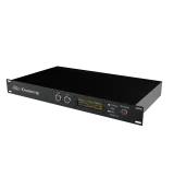
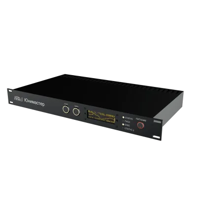
UniMasterequipment
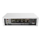
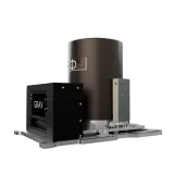
RSX-4spectrometer
GPSsynchronisation
Functions
Main functions
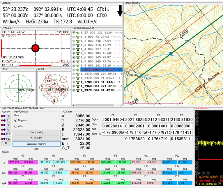
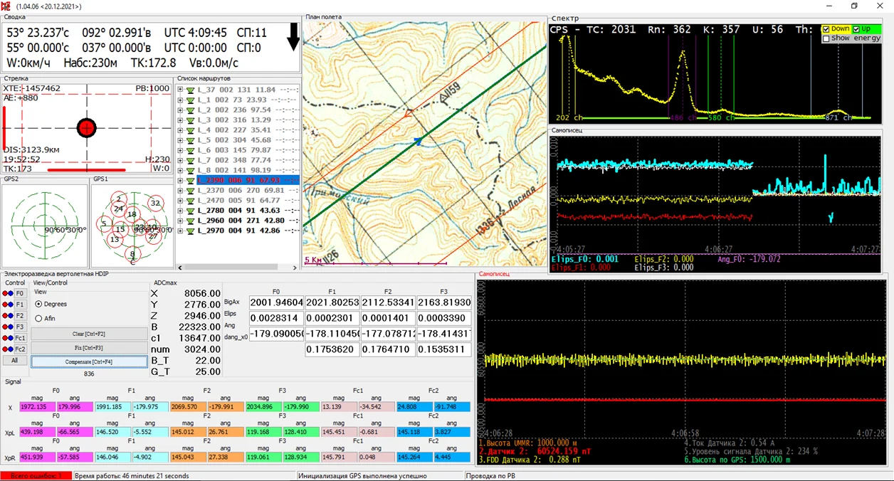
Pilot navigationIndicator of deviation from the planned flight line.
Data acquisitionContinuous recording of instrument data to the onboard computer.
GPS synchronisationCommon time reference for all data.
Three altitude modesAltitude can be set using a radar altimeter, as an absolute altitude, or relative to a specified surface.
Components
Software capabilities
Support for geophysical instruments (UniMaster, RSX-4)
Quality control and analysis of service data
Configurable screen for the operator and pilot
Real-time display of the aircraft on a topographic map
Calculation of the optimal approach path to the flight line
Touch control, operation without an onboard operator
Module for unpacking onboard data into ASCII XYZ format
- Installed on the onboard computer; it controls the flight-line guidance indicator on the pilot's panel.
- Runs under Windows.
Interface
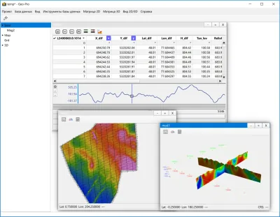
BortBiz interface
Main screen and configurable operator screen.