


Instrument · quantum magnetometer
AGF-MAG
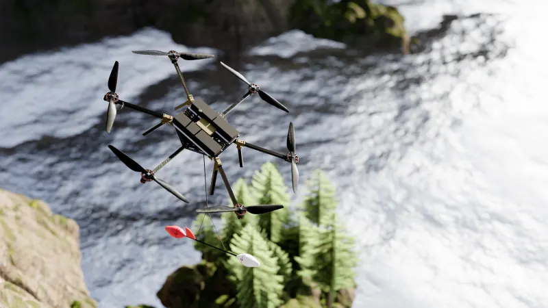
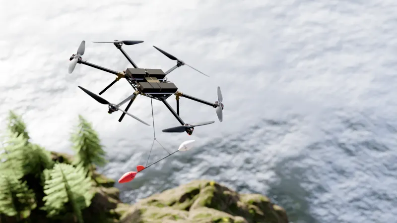
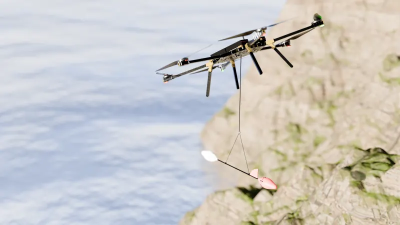
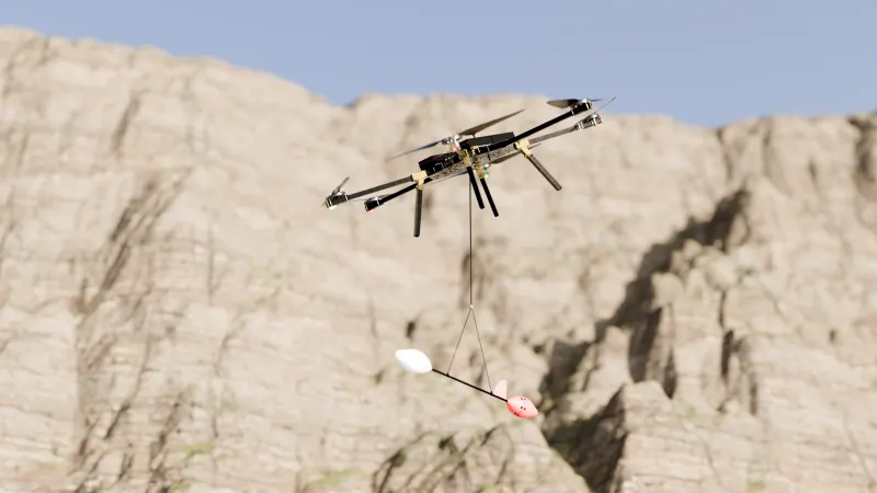
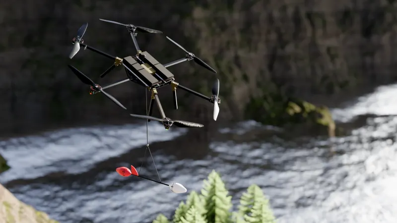
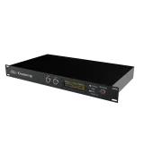
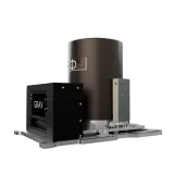
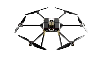
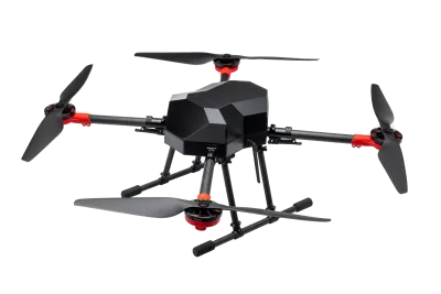
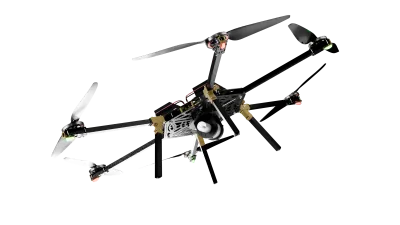
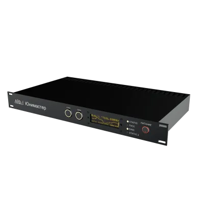
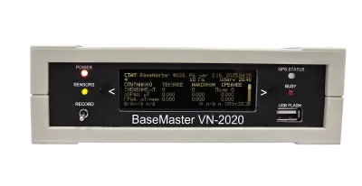
AGF-MAG: a quantum airborne magnetometer for unmanned aircraft systems.
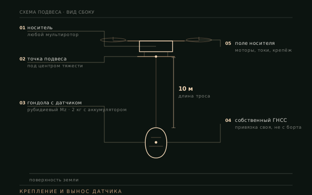
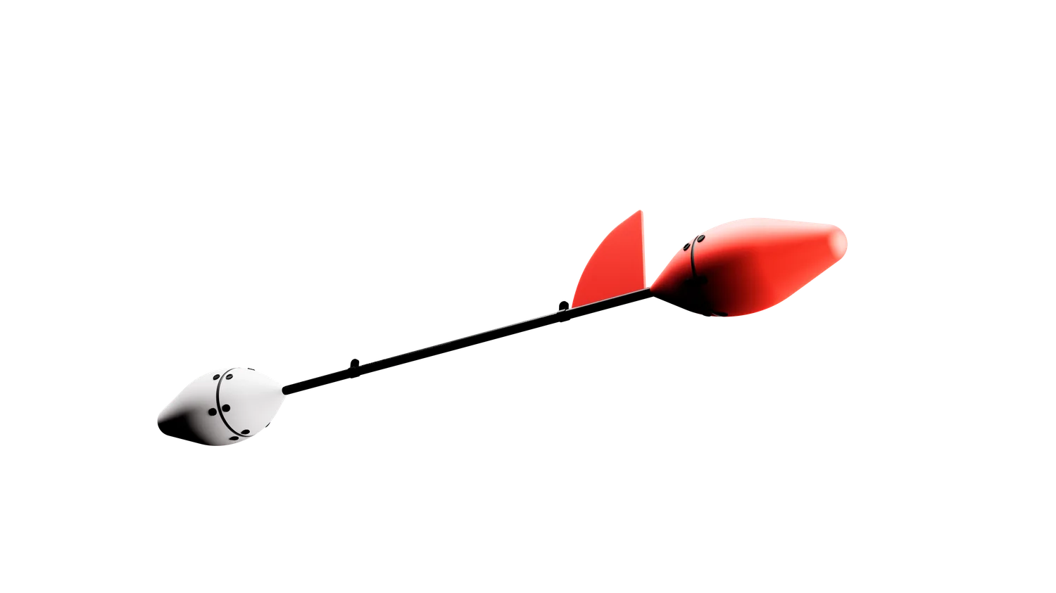
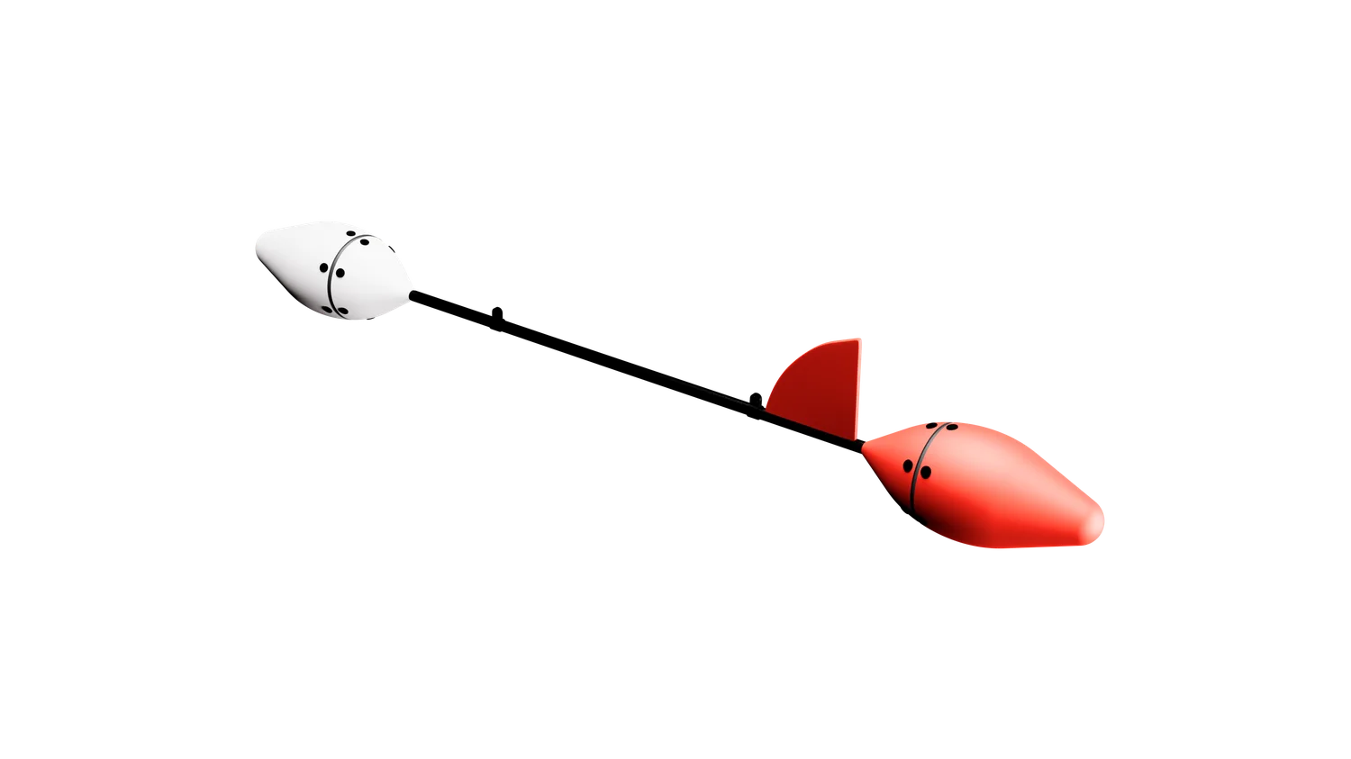
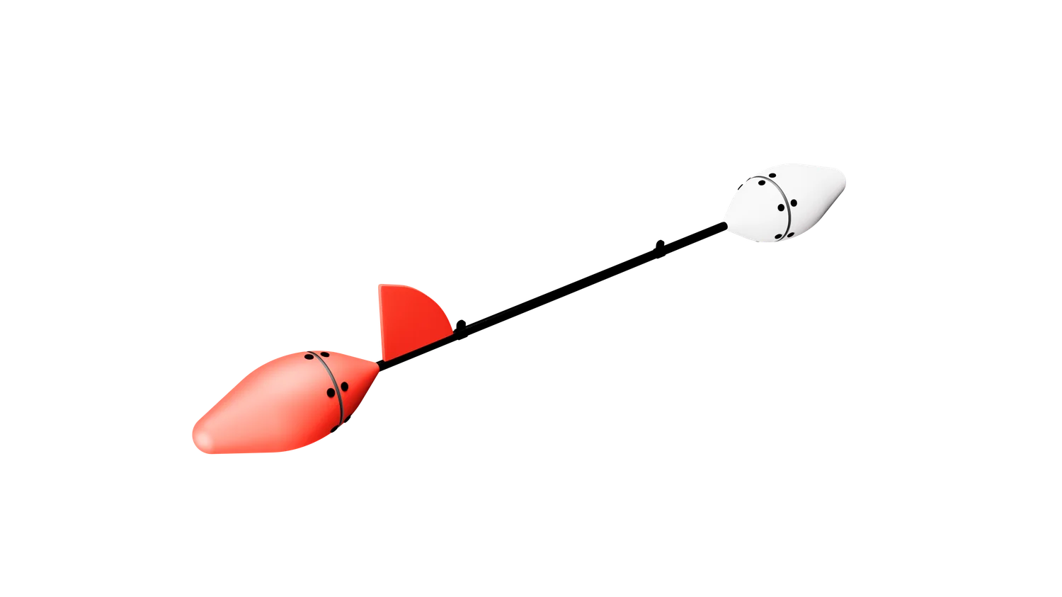
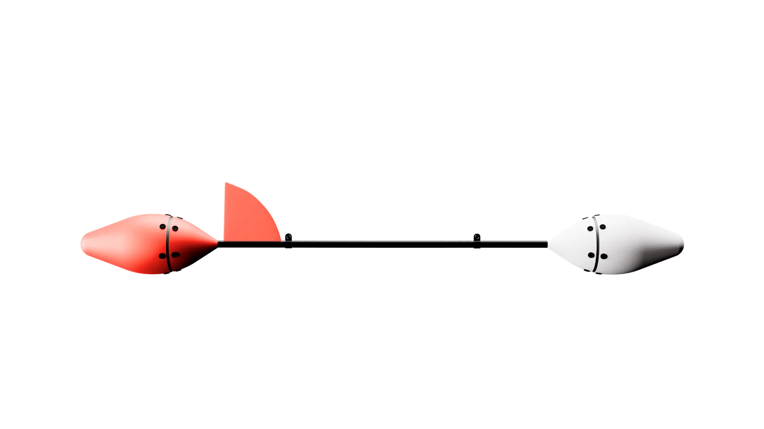
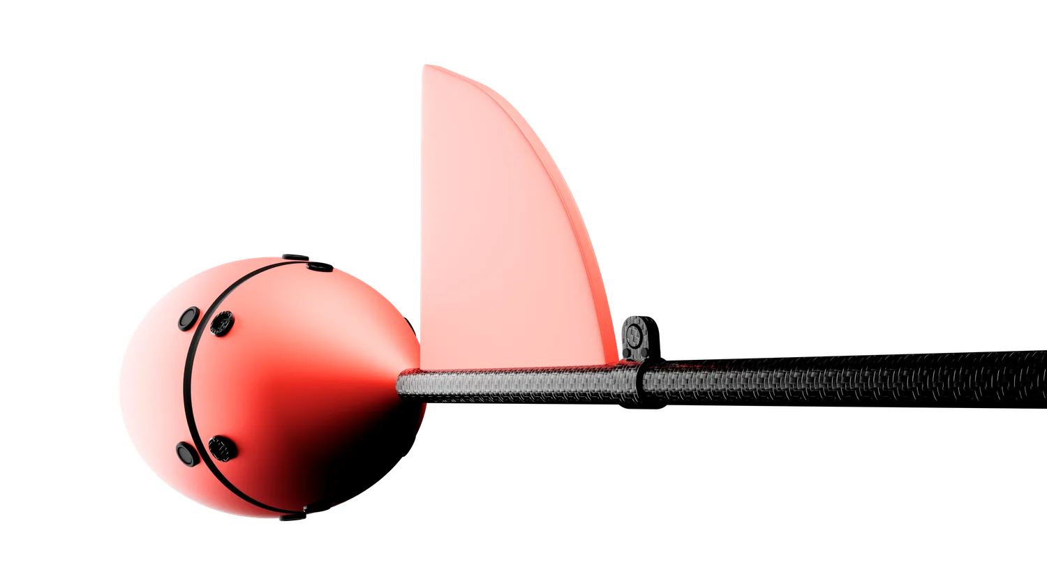
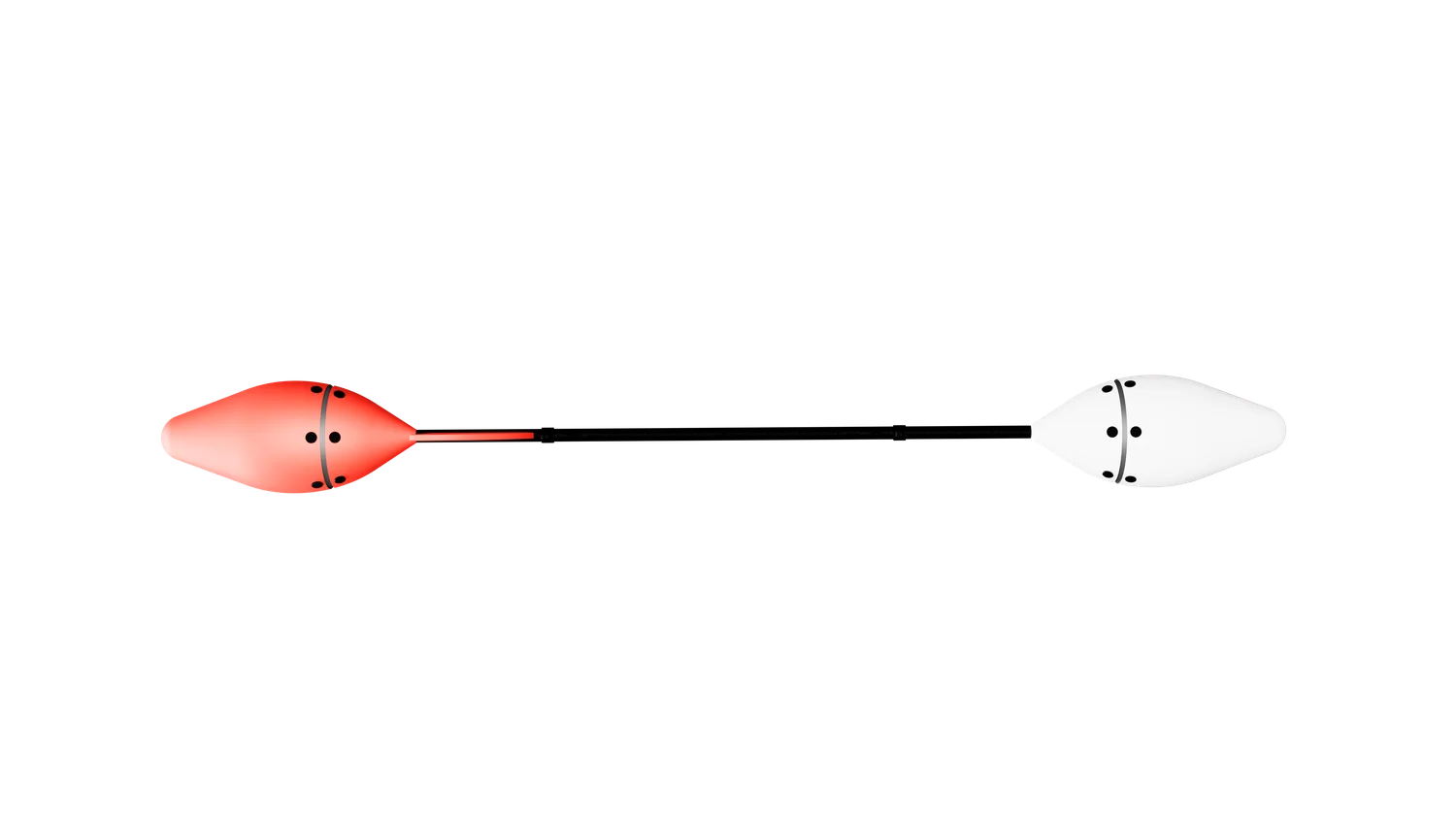
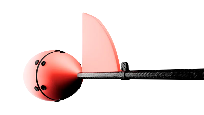
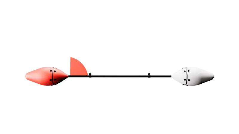
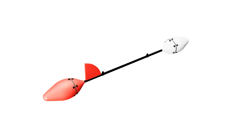
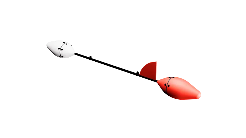
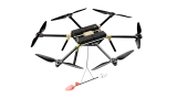
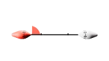
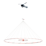
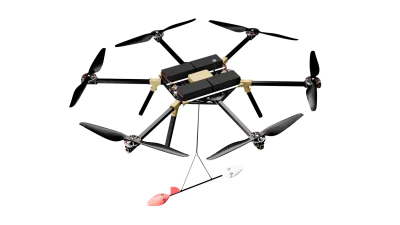
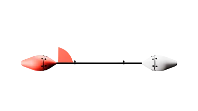
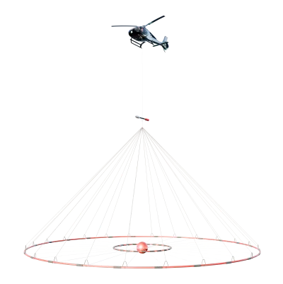
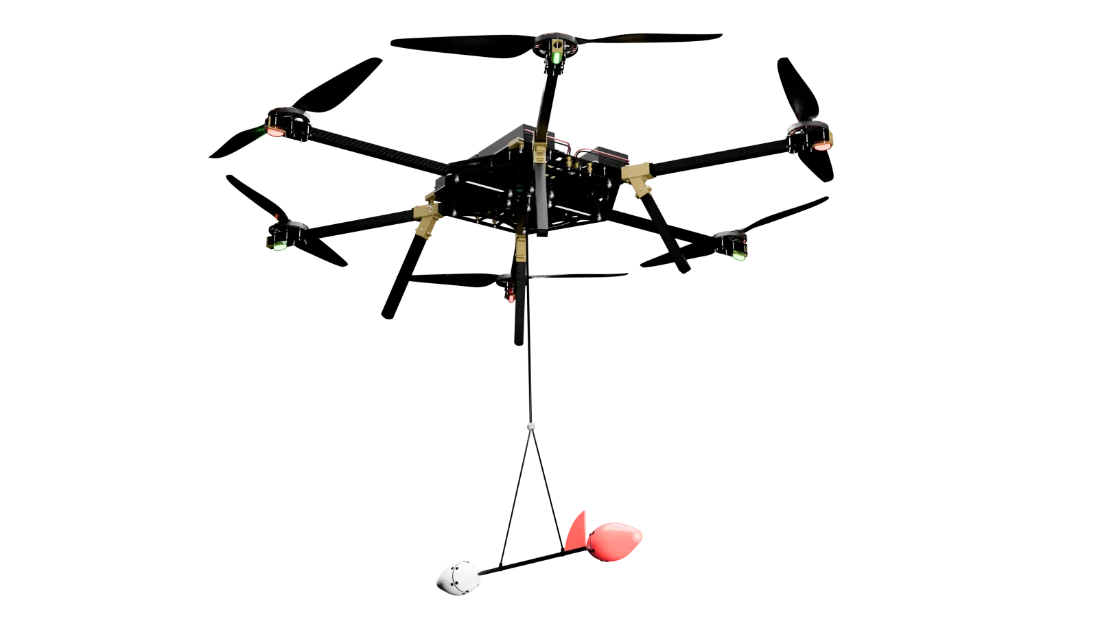
Quantum magnetometer with a rubidium Mz sensor in a towed bird on a 10 m cable. It measures the total magnetic field intensity from the precession frequency.
Instrument configuration
Method
Measuring the geomagnetic field
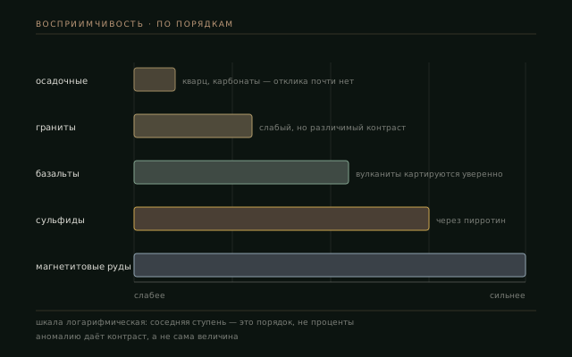
The magnetic susceptibility of rocks is related to their content of ferrimagnetic minerals such as magnetite and pyrrhotite. The instrument measures the total field intensity. The difference between the measured and the normal field is used to study the contrast in magnetic properties between a body and the host rocks.
Two components of magnetisation
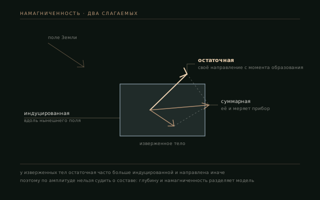
Induced magnetisation is caused by the present-day geomagnetic field and is proportional to susceptibility. Remanent magnetisation is retained from the time the rock formed; in igneous bodies it often exceeds the induced magnetisation and differs in direction. The measured field depends on both components, so its amplitude does not uniquely determine rock composition.
Asymmetry of the response with latitude
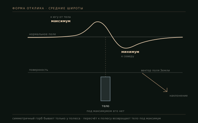
Field inclination determines the shape of the anomaly. At mid-latitudes of the Northern Hemisphere, over a vertical body the maximum is shifted to the south and the minimum to the north. Reduction to the pole is used to account for this shift when interpreting the position of the body.
Sensitivity
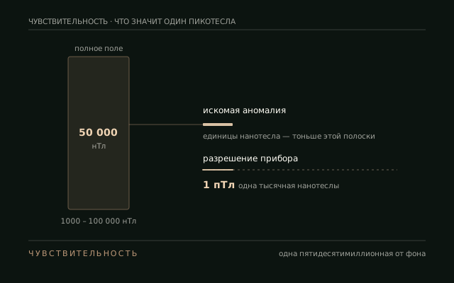
Sensitivity 1 pT
The instrument's sensitivity is 1 pT, or one thousandth of a nanotesla. The measurement range is from 1000 to 100 000 nT.
Measurement principle
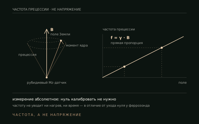
Measuring the precession frequency
The quantum sensor records the precession frequency, which is proportional to the magnetic field. As an absolute measurement, it requires no zero calibration. The measurement rate is up to 400 samples per second.
Limitation
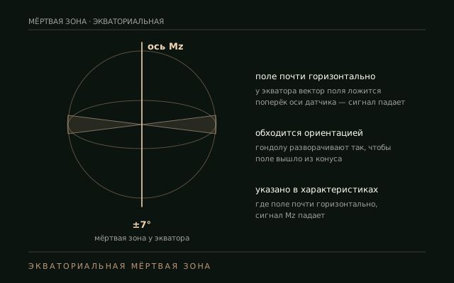
Dead zone ±7°
Near the equator the field is almost horizontal. When it is directed across the axis of the Mz sensor, the signal decreases. The ±7° dead zone is taken into account when choosing the bird orientation.
Applications
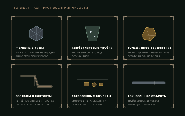
What magnetic surveys look for
Magnetic surveying relies on the contrast in magnetic susceptibility between the target body and the host rocks.
Limitations
Limitations of magnetic surveying
Interpretation takes into account rock magnetic properties, man-made interference and the non-uniqueness of the inverse problem.
Non-magnetic rocks and ores
Detection of quartz veins, carbonates and non-magnetic sulphides is limited by the absence of a susceptibility contrast with the host rocks.
Man-made interference near infrastructure
Pipelines, cables and metal structures produce magnetic anomalies. Their spatial shape and wavelength are taken into account in interpretation.
Non-uniqueness of the inverse problem
The same measured field may correspond to a weakly magnetised body near the surface or a strongly magnetised body at depth. Depth and magnetisation are determined during modelling.
Specifications
Specifications
| Parameter | Value |
|---|---|
| sensitivity | 1 pT |
| range | 1000–100 000 nT |
| measurement rate | up to 400 samples/s |
| sensing element | rubidium Mz sensor |
| dead zone | ±7° (equatorial) |
| weight with battery | 2 kg |
| temperature | −25…+60 °C |
| bird cable | 10 m |