




Compatible methods
ALS · digital aerial photography · IR
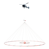
Laser scanning, digital aerial photography and thermal survey — within the overall project and a single coordinate system.
Magnetometry, gamma-ray spectrometry, electromagnetic survey and gravimetry. Instruments and software developed in-house; commissioning and training.
STC Aerogeophysica develops geophysical instruments, unmanned aircraft systems and software.
Airborne geophysics
Physical methods, geophysical instruments and software for airborne surveys.
Methods
Magnetometry, gamma-ray spectrometry, electromagnetic survey and gravimetry characterise different physical properties of the subsurface. Additional remote sensing methods provide information on the surface and topography.
Measured: total intensity of the geomagnetic field and its gradients.
Anomalies reflect differences in the magnetic properties of rocks. Structural and tectonic mapping, delineation of mineralised zones and mapping of intrusive bodies and metasomatic zones.
Measured: gravitational acceleration on board the carrier.
Gravity anomalies are related to density variations in rocks. Density models, regional structural framework, assessment of the sedimentary cover structure.
Measured: spectrum of natural gamma radiation: uranium (radium), thorium, potassium.
Concentrations of radioactive elements in the near-surface layer. Lithological subdivision, exploration for radioactive raw materials, indications of superimposed processes and environmental applications.
Measured: in-phase and quadrature components of the secondary field at several frequencies.
Mapping of the conductivity distribution with an estimate of its variation with depth: fault and fracture zones, buried palaeovalleys.
Measured: decay of the eddy-current field after the pulse is switched off.
The time-domain EM (TEM) method gives a detailed geoelectrical section laterally and in depth: sulphide and polymetallic ores, ore-controlling faults.
Measured: intrinsic thermal radiation of the surface.
Thermal anomalies of areas and objects: engineering and environmental surveys, condition monitoring of utility networks and structures.
Measured: ranges of laser returns and image orientation parameters.
Topography, orthophoto maps and a topographic base — for route planning, landscape zoning and interpretation of geophysical fields.
Instruments
Instruments of in-house design for magnetometry, gamma-ray spectrometry, electromagnetic survey and gravimetry. Remote sensing methods and carriers are selected within the overall survey project. Whether instruments can be installed together on a carrier depends on mass, power consumption and electromagnetic compatibility.
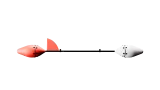
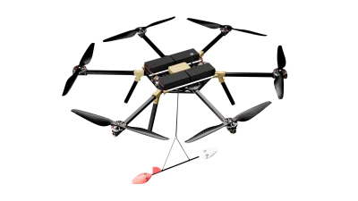
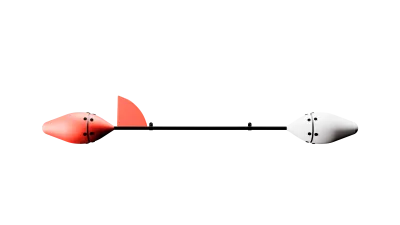
Quantum magnetometer with a rubidium sensor in a towed bird for unmanned carriers.
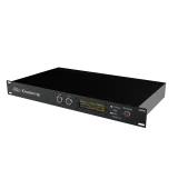
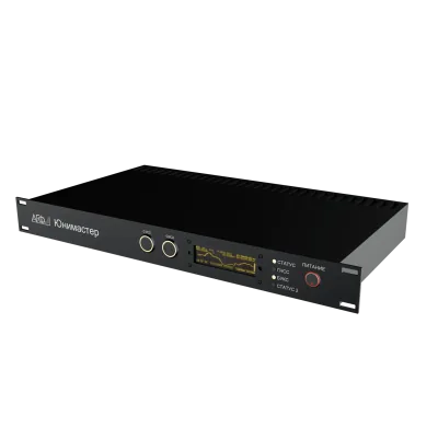
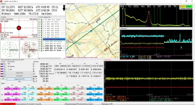
Multichannel magnetometer and on-board data acquisition system for geophysical sensors.
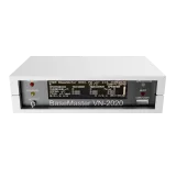
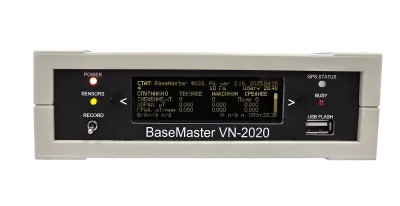
Magnetic base station for correcting the diurnal variation of the field.
Scintillation spectrometer with a 0.4 L or 1 L NaI(Tl) crystal; part of the AGF-1600 SPEKTR system.
Time-domain (TEM) induction survey, recorded together with magnetometry and gamma-ray spectrometry on a single line grid.
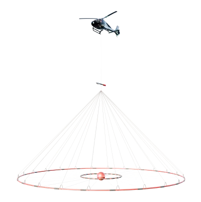
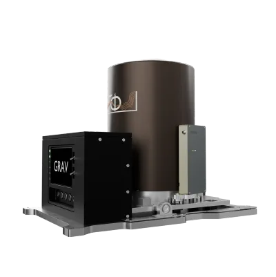
Strapdown inertial airborne gravimeter that operates under disturbing carrier accelerations.
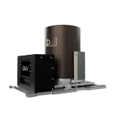
Laser scanning, digital aerial photography and thermal survey — within the overall project and a single coordinate system.
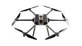
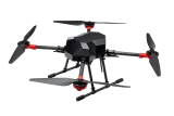
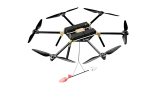
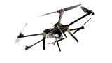
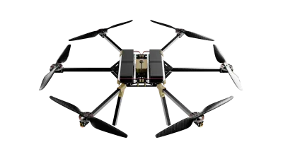
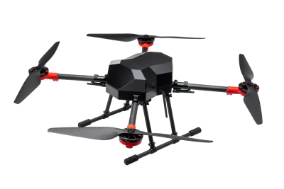
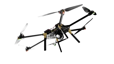
The carrier type is determined by the survey area, topography and required grid density; unmanned systems are used on detailed survey sites.
Applications
Geophysical instruments are used in mineral exploration, engineering studies and environmental assessment. The set of methods is determined by the geological task and measurement conditions.
Airborne magnetometry, gamma-ray spectrometry and electromagnetic survey are used to map structures favourable for the localisation of ore bodies at the regional and prospecting stages. Joint data interpretation is used to compile anomalous field maps and structural-tectonic schemes.
Airborne geophysical data are used in exploration for hydrocarbon deposits: to study the gravity and magnetic fields of an area, for structural mapping and for comparison with the existing geological model.
Study of geological structure, hazardous processes and man-made objects — from the air, at a controlled level of detail.
Environmental monitoring of areas, thermal IR survey, assessment of anthropogenic impact and environmental condition.
Condition monitoring of housing and utility infrastructure by remote sensing and airborne geophysical means.
Combining exploration, engineering and special tasks in one flight cycle — where the carrier and instrument set are compatible.
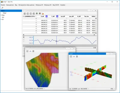
Joint processing and geological interpretation of multi-method data: from maps and sections to models suitable for planning ground work.
Problem statement
In geological interpretation, geophysical anomalies, geological information and legacy data are compared.
Mapping the localisation factors of a target object uses geological information and legacy data. To this end, geophysical methods are integrated.
Airborne geophysical technologies include magnetic, gamma-ray spectrometric, electromagnetic, gravity and remote sensing observations.
Support
Support for the centre's geophysical instruments and software.
Agreement on the set of equipment, software and interfaces.
Installation and commissioning of the selected configuration.
Training specialists to use the instruments and software.
Technical support, maintenance and repair of equipment.
в соответствии с Федеральным законом от 27.07.2006 № 152-ФЗ «О персональных данных»
Заполняя и отправляя форму обращения на сайте agptech.ru, я (далее — субъект персональных данных) свободно, своей волей и в своём интересе даю согласие на обработку моих персональных данных оператору на условиях, изложенных ниже.
Оператор: Общество с ограниченной ответственностью «Научно-технический центр «Аэрогеофизика»» (ООО «НТЦ «Аэрогеофизика»»), ОГРН 1227700402710, ИНН 7733387200, КПП 773301001. Адрес: 125373, г. Москва, вн. тер. г. муниципальный округ Южное Тушино, проезд Походный, д. 19, этаж 2, помещение 3. Телефон: +7 499 394 60 11. Электронная почта: info@agptech.ru.
Сбор, запись, систематизация, накопление, хранение, уточнение, извлечение, использование, передача в случаях, предусмотренных законом, обезличивание, блокирование, удаление, уничтожение. Обработка смешанная: с использованием средств автоматизации и без них.
Оператор не раскрывает и не передаёт персональные данные третьим лицам, кроме случаев, предусмотренных законодательством Российской Федерации. Передача уполномоченным органам государственной власти осуществляется только по основаниям и в порядке, установленным законодательством.
Согласие действует с момента отправки формы до достижения целей обработки или до его отзыва. По достижении целей или при отзыве согласия персональные данные уничтожаются либо обезличиваются, если иное не предусмотрено законодательством.
Согласие может быть отозвано в любой момент заявлением на адрес info@agptech.ru или почтовым отправлением по адресу оператора. Отзыв согласия не влияет на законность обработки, выполненной до отзыва.
Мои права как субъекта персональных данных и порядок их осуществления изложены в Политике в отношении обработки персональных данных, опубликованной по адресу agptech.ru/privacy/.